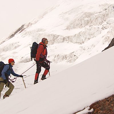
Climbing Cotopaxi stands as Ecuador’s second-highest peak, reaching 5,897 meters (19,347 feet). It lies about 55 kilometers (34 miles) south of Quito. Moreover, the site’s geography yields clearer days than many other tall Ecuadorian mountains. Consequently, most ascents offer expansive views of the wide Andean landscape, including snow-capped peaks across the region. Therefore, such visibility enhances the experience for climbers and photographers alike, making the approach memorable.
From the summit, climbers gain a remarkable view of Cotopaxi’s crater. Specifically, the crater measures 800 meters (2,624 feet) in diameter and continuously emits gases and steam. This persistent activity underscores the mountain’s dynamic nature and the need for respect and caution during ascent.
The weather on Cotopaxi remains relatively stable, supporting year-round access. Accordingly, the ascent is not technically difficult, though a section near the final summit slope presents crevasse patterns and snow-bridge crossings. Proper ice climbing gear is essential. Additionally, adequate acclimatization to high altitude remains a prerequisite, along with good physical conditioning. Planning should include time for gradual ascent and hydration throughout the climb.
Climbing Cotopaxi
The expedition history reveals notable early attempts. The first ascent to the crater rim occurred in 1872, accomplished by Wilhelm Reiss, a German geologist, and Angel Escobar, from Colombia. They climbed over a still-warm lava flow, illustrating Cotopaxi’s dynamic surface. In 1880, Edward Whymper, a British mountaineer, climbed Cotopaxi from the north route. This route remains the most popular today, attracting climbers from around the world.
- For ascending Cotopaxi, a minimum of 2 days is required, provided the participant has substantial glacier travel experience, excellent physical conditioning, and shows very good high-altitude acclimatization.
- If these conditions are not met, we offer a 5-day program that includes acclimatization on volcanoes under 5,000 meters and a basic glacier skills course.
The last major eruption occurred in 1877, and current activity is limited to the emission of gas and steam. Ongoing monitoring emphasizes the importance of safety and environmental responsibility for all expeditions.


